
Burlingame ZIP Code Coverage by Mail Route
Postal coverage in Burlingame does not form a neat city outline. The rows below separate the known street-delivery and PO-box uses from a third entry that remains a research gap. 94010 is the principal street-delivery code tied to Burlingame addresses, but its postal reach extends into Hillsborough and unincorporated Burlingame Hills. 94011 is a PO-box layer. Some postal and reference datasets associate 94012 with special or unique use, yet an official current facility or assignee was not located. The directory should state that uncertainty plainly.
| ZIP Code | Areas Covered | Post Office | Notes |
|---|---|---|---|
| 94010 | Virtually all street-delivery Burlingame; Easton, Broadway, central and downtown areas; Mills Estate and Ray Park; bayfront and airport-commercial corridors; Hillsborough and unincorporated Burlingame Hills addresses | Burlingame Post Office, 329 Primrose Road | Postal city crosses the municipal boundary |
| 94011 | Burlingame PO boxes and organizational mailing addresses | Served through Burlingame postal facilities | PO-box layer, not a residential neighborhood |
| 94012 | Associated in some postal or reference datasets with Burlingame special or unique use | Current facility or unique assignee not located in official sources | Research gap; verify before treating it as active coverage |
Use the table as a starting classification, not as proof that a person lives at an address. A postal city can be broader than a municipal boundary, and a PO-box ZIP can identify a correspondence container rather than a parcel. For any record search, confirm the delivery address with USPS, then compare the San Mateo County GIS city and ZIP layers. The controlling custodian may be the City of Burlingame, San Mateo County, or a state office depending on the parcel and record type.
The USPS Burlingame Post Office listing anchors the facility reference used for the street-delivery row.
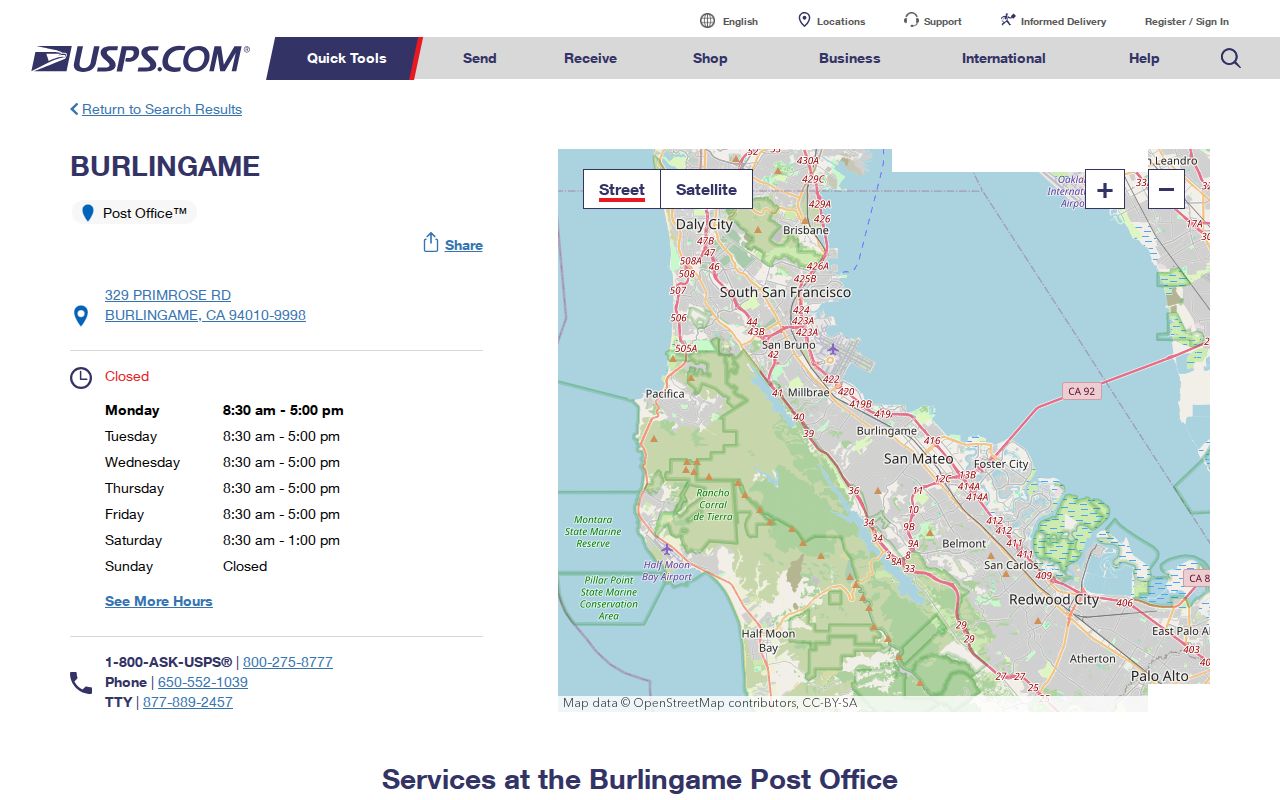
The post-office listing helps verify the postal destination attached to a street address. It does not turn that destination into a city boundary, parcel record, or list of residents.
Burlingame ZIP Directory: 94010 Reach
94010 reaches virtually all street-delivery Burlingame. That includes central and downtown streets, the Easton and Broadway areas, northern Mills Estate and Ray Park areas, and bayfront or airport-commercial corridors. The postal footprint also reaches Hillsborough and unincorporated Burlingame Hills. “Burlingame, CA 94010” on an envelope therefore describes a delivery route, not a finding that the parcel lies inside the incorporated city.
That distinction changes the records path. Streets inside Burlingame are generally a city-maintained geography, while unincorporated Burlingame Hills is maintained through San Mateo County. El Camino Real brings a third maintenance layer through Caltrans. A permit, code record, police record, or parcel question should follow the jurisdiction shown by the map, even when the postal label stays the same. The directory is most useful when it sends the search to the correct custodian instead of treating postal and civic geography as synonyms.
County GIS supplies the practical check: locate the address, turn on the City and ZIP Codes layers, and compare the parcel with the boundary. When the city label and postal label disagree, retain both in research notes. One describes delivery; the other controls which local office may hold the requested record.
Burlingame PO-Box ZIP Directory
94011 is used for Burlingame PO boxes and organizational mailing addresses. It is not a street-delivery neighborhood that can be outlined with parcels. A PO box can receive letters for a person, business, association, or public-facing program without identifying where that customer lives or where an organization operates.
A local organizational example is the Downtown Burlingame Business Improvement District, listed with P.O. Box 563, Burlingame 94011. That entry is an organizational contact, not a resident record. Similar mailing labels should be kept in their proper category when a postal search is used for genealogy, civic research, or a records request.
Property Maps will not turn a PO-box number into an assessor parcel. The assessor workflow is built around a street address or APN, while voter self-lookup asks for a registered house number and five-digit postal code. If a record names 94011, check whether the source is a mailing address, an organization, or a PO box before drawing a conclusion about a physical place.
Burlingame 94012 ZIP Lookup
94012 needs a clear warning. Some postal and reference datasets associate the code with Burlingame special or unique use, but available official sources do not identify a current facility, unique assignee, or confirmed street-delivery area. It is not safe to add 94012 to a list of active neighborhood ZIP codes simply because a secondary dataset displays the number beside Burlingame.
The correct next step is address-level verification through the USPS address lookup, with an official postal reference or AIS confirmation if a current special assignment must be established. Record the lookup date and the exact source. If an archival directory, map, or mailing label uses 94012, describe what that document shows without converting it into present-day municipal coverage.
94012 also illustrates why a directory must preserve research gaps. No official source located in the available record set documents a citywide ZIP realignment or a ZIP-specific change year. A missing date is not permission to fill in a plausible one.
Note: Treat the 94012 lead as a verification task, not as proof of a current Burlingame delivery zone.
Finding Burlingame Residents by ZIP
A ZIP-based resident search works best as a sequence of address and custodian checks. USPS confirms the delivery code. Property Maps and GIS connect a street address to a parcel. Election tools handle a narrow, authenticated or purpose-controlled voter question. None of those steps creates a public ZIP-wide resident roll, and an assessor search should not be described as an unrestricted owner-name search.
The USPS address-to-ZIP lookup provides the delivery check that should come first.
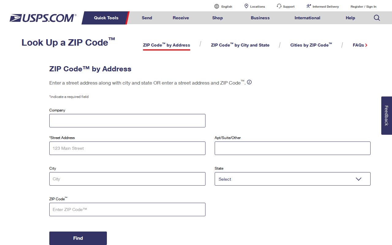
The lookup result gives the postal classification for a particular delivery address. Save that result before moving to a parcel, election, or city-record search, especially when the address carries a Burlingame mailing label outside the city.
- Verify the address. Enter the street-delivery address in USPS and keep the returned ZIP with the source date. A PO box should remain marked as a PO box rather than being treated as a parcel.
- Resolve the parcel. In San Mateo County Property Maps, search the street address or APN. Open the parcel, assessor map, or recorded-map link. The public instructions document address and APN search, but do not advertise an unrestricted ZIP-wide owner-results mode. Free map downloads are available online; official copies and recorder-terminal review are in-person fallback channels at the county service counter.
- Read the geography. In the county GIS viewer, accept the disclaimer, identify the parcel, and turn on the City, ZIP Codes, precinct, and district layers that answer the question. Open parcels one at a time instead of treating every address in a ZIP as one jurisdiction.
- Choose the election channel. Use county or state self-lookup for the registrant’s own record. A qualified requester can ask for a voter-file extract for an allowed election, scholarly, journalistic, political, or governmental purpose, but cannot publish it as a neighborhood roster.
Once a ZIP narrows the area to a street, the Burlingame street directory supplies the address-keyed workflow for parcel, deed, permit, and historical occupant questions.
Burlingame ZIP Directory Fields
The useful fields differ by portal. USPS is an address verifier. Property Maps is an address, APN, or recorded-map route. County GIS adds boundary and district layers. Writing down the input and result type prevents a postal check from being mistaken for a name search.
| Portal mode | Input or control | What it does |
|---|---|---|
| USPS address lookup | Street-delivery address | Verifies the ZIP attached to that delivery point |
| Property Maps, address mode | Street address | Search, open parcel, then use Assessor Map or All Available Recorded Maps |
| Property Maps, APN mode | Assessor parcel number | Open the assessor map or recorded maps associated with the APN |
| Assessor Maps | Book and page | Download the map identified by that book-page combination |
| Parcel or Subdivision Maps | Volume, then page | Advance to the map name and download route |
| County GIS viewer | Address or APN; zoom, pan, identify/select | Compare parcel, city, ZIP, precinct, district, and map layers |
The San Mateo County Assessor Maps instructions document these address, APN, book-page, and volume-page modes. APNs commonly appear in three groups, such as 029-112-400, but the APN is an assessor locator, not the legal description itself.
| County self-lookup field | Type | Required | Format note |
|---|---|---|---|
| House Number | Text or number | Yes | Number only as registered |
| ZIP Code | Text | Yes | Five-digit registration ZIP |
| Birth Date | Date | Yes | Exact date of birth |
| Submit or Search | Button | Not applicable | Runs the exact self-match |
The county’s voter-registration FAQs describe the My Election Info inputs. The state’s California My Voter Status tool also requires identifying details and may report status, party preference, districts, vote-by-mail or provisional-ballot status, and election materials for the authenticated voter. If an exact match fails, San Mateo County Elections lists 650-312-5222 and registrar@smcacre.gov as contact options rather than offering an anonymous ZIP search.
Burlingame GIS and ZIP Layers
County GIS is the best local way to test whether a postal label and a city boundary point to the same parcel. The viewer accepts an address or APN, lets a researcher zoom and pan, and supports identify or select actions on a parcel. Relevant layers include active parcels, city boundaries, ZIP Codes, election precincts, legislative districts, APN labels, situs-number labels, assessor maps, parcel maps, and subdivision maps.
The San Mateo County GIS resources page is the county entry point for the Property Information Portal, map applications, and open-data resources.
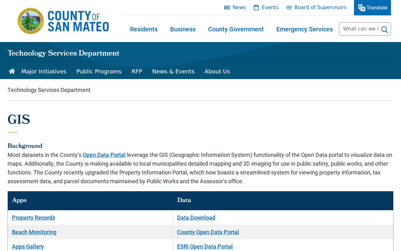
The GIS resources view reinforces the right scale for a postal lookup: map the parcel and its jurisdiction, then open the specific record source. It is an informational map, not a legal survey and not a resident list.
If parcel work points to a recorded deed, the ACRE grantor-grantee index is free but excludes document images. Copies can be ordered by mail or at the counter; the official landing page does not state the first online year, so no cutoff is assumed.
The countywide scale explains why a filter matters. ACRE reported 234,263 parcels or accounts and 20,321 deeds reviewed for ownership transfers in 2025-26. Those figures cover San Mateo County, not just Burlingame, but they show why a ZIP, city, APN, and date must be recorded together when a result is checked.
ZIP Code Boundaries and Burlingame City Limits
A ZIP is a mail-route construct. Burlingame is an incorporated city. Those boundaries overlap, but they are not the same line. 94010 addresses can sit in Hillsborough or unincorporated Burlingame Hills while still carrying a Burlingame postal city. A parcel inside Burlingame may also need a separate check when an older record uses Easton, San Mateo County, or another historical locality.
The difference affects access. City permits and city administrative records follow Burlingame’s jurisdiction. County assessor, recorder, GIS, and election functions are handled by San Mateo County ACRE or county systems. A state record, such as a voter-file request or vital-record application, follows California rules. El Camino Real can bring a Caltrans maintenance question into the same postal area. The ZIP narrows the geography, but it does not decide the office by itself.
- ZIP versus ZIP+4
- A five-digit ZIP identifies a broad delivery area. ZIP+4 adds four digits for a narrower delivery segment, building, or delivery unit; it does not create a city boundary.
- PO-box ZIP
- A code used for Post Office boxes and related mailing addresses. It can identify a postal container without identifying a street parcel or residential neighborhood.
- Unique ZIP
- A special code associated with one organization or other designated recipient. Because 94012’s current assignee was not verified, its unique-use status must remain a question.
- Carrier route
- A delivery sequence inside a ZIP. It is narrower operational geography, not a public list of the people served along the route.
These definitions keep a postal directory from promising more than the underlying delivery system can answer. The address, parcel, legal description, and record custodian still need separate confirmation.
Burlingame ZIP History and Annexations
Older Burlingame addresses carry a map history that can outlast a current mailing label. Town Map No. 1 was dated March 15, 1897. Easton Addition maps begin in 1905, and Easton joined Burlingame in 1910. Thirty-five further subdivisions or annexations were recorded from 1912 through 1963. A researcher who searches only the modern city name can miss an address filed under Easton, a subdivision title, or San Mateo County.
The Mills Estate is a major hinge in that geography. Its territory was divided in 1954, with the southern portion through Murchison in Burlingame and the northern portion in Millbrae. Named areas such as Easton Addition, Ray Park, Mills Estates, Burlingame Park, downtown, and Lyon-Hoag are useful search clues, but Burlingame does not maintain one complete official map defining every neighborhood. Cultural neighborhood labels should not be treated as legal districts.
Most local building growth occurred across the 1910s through 1960s, so maps, deeds, permits, directories, and newspapers should be paired by era. No official source located in the available record set documents a citywide house-number renumbering date or a verified postal realignment year. Compare each historical address against the map and directory source that actually uses it rather than filling that gap with an assumed change.
Note: An older address may require a locality and subdivision search before a current ZIP lookup becomes meaningful.
Limits of the Burlingame ZIP Directory
A ZIP directory can map coverage and organize a research path, but it cannot produce a complete list of Burlingame residents. The assessor result may show an assessed owner, mailing address, parcel, values, exemptions, and property characteristics; ownership is not occupancy, and a tax mailing address is not the physical situs. GIS can show adjacent parcels and districts, but it does not reveal private household members.
Modern voter information is also purpose-controlled. California Elections Code section 2194 limits voter-file use to election, scholarly, journalistic, political, or governmental purposes, and driver-license numbers, Social Security numbers, and signatures are withheld. A qualified applicant may request a statewide file for an approved purpose, with the state materials listing a $100 statewide request and a single-voter request of up to ten named voters at $30 each, capped at $100. County-specific files may be requested from Elections, and county fees vary. There is no anonymous official portal that accepts a Burlingame ZIP and returns every voter or resident.
Protected addresses must stay out of a compiled directory. California’s Safe at Home program provides a substitute mailing address and confidential mail forwarding for eligible participants, and confidential voter registration is handled outside the ordinary public form. A suppressed record is not evidence that a person is absent from a place.
For a city-held record that is not already indexed, use the Burlingame public-records request portal. The request should name the department, address or name, date range, record series, and preferred format. The city’s Laserfiche portal went live in January 2021, while the Document Center supports date and folder filters. A California Public Records Act request can seek an existing record, but it does not require the city to create a new postal resident directory.
The California Public Records Act response rule calls for an initial response within ten calendar days, subject to a permitted extension. Inspection of disclosable records is ordinarily free; copies may carry direct duplication charges. The response time is a determination about possession and disclosure, not a promise that a requested compilation exists.
That boundary is the central limit of a Burlingame postal directory: postal geography can tell a researcher where to start, while the custodian decides what record exists and what can be released.
The California Public Records Act rule is useful when the online path ends. It turns a broad request for “everyone in a ZIP” into a focused request for an existing permit index, document set, or date-bounded address record.
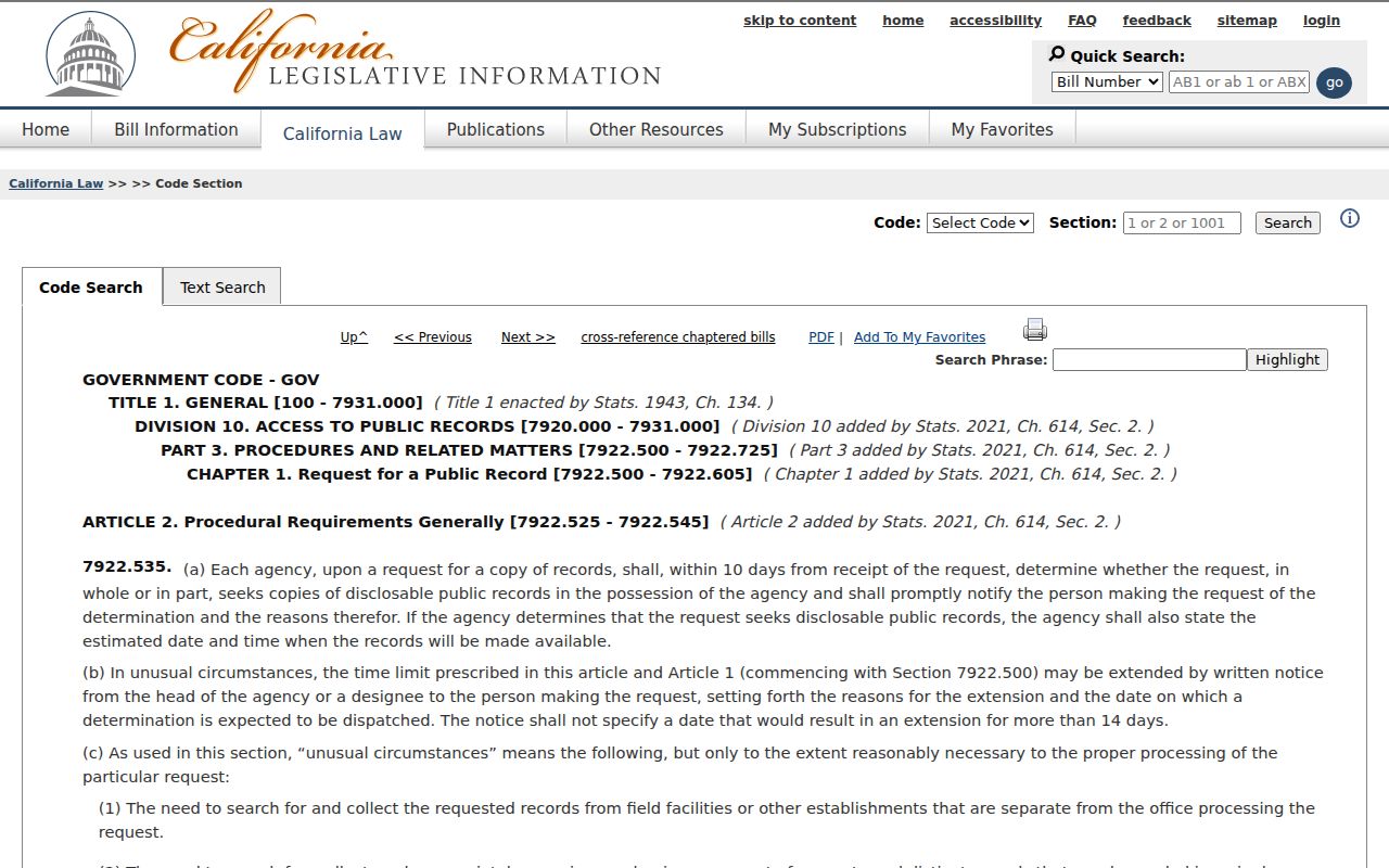
The statute reference belongs beside the request workflow because it explains the response clock without promising a new people directory.