
Burlingame Neighbors by Record Layer
Looking up neighbors around a Burlingame address starts with the parcel, then adds only the record layer that answers the question. The San Mateo County GIS parcel viewer can place an address on the map and show nearby polygons. Property Maps connects an address or APN to assessor maps and recorded-map links. The free grantor-grantee index can trace recorded parties, while copy instructions explain the mail or counter fallback. An assessed owner, tax mailing address, or exemption flag is useful property evidence, but it does not establish that a person occupies the home. Deeds and maps can explain title and lot boundaries without creating a household roster.
| Source | What It Shows About a Block | Access |
|---|---|---|
| County GIS parcel viewer | Parcel geometry, APNs, city and ZIP context, precinct layers, and adjoining polygons | Free public viewer; select parcels one at a time |
| Assessor roll and property card | Assessed owner, mailing address, assessed value, exemptions, and parcel links | Free property portal; address or APN centered |
| Recorded maps and deeds | Subdivision, lot and block details, transfers, parties, and legal descriptions | Free index; copies by mail or counter |
| Permits and code cases | Work chronology, owner or applicant, notices, photographs, and disposition when releasable | City records request; redactions may apply |
| Voter information | Eligible registration evidence and precinct context, not an open household list | Self-lookup or purpose-qualified file request |
| Reverse directories | Historical subscribers or occupants by street number | Library or archive; exact holdings need shelf confirmation |
| Associations and civic groups | Public organization contacts and activity around a district or business corridor | City directory; membership lists are not assumed public |
Each row has a different proof value. A parcel record can point to an owner and a mailing destination. A recorded deed can identify a transfer party and the legal description. The recorder’s free index deliberately excludes images, so the Redwood City public terminal or a mail and counter copy request is the fallback; the official page does not state the first online year. A permit can identify an applicant who acted for someone else. A reverse directory may show a telephone subscriber from an earlier era. Treat those clues as separate facts, compare dates and addresses, and avoid turning a name match into an assertion about who lives next door.
Map Burlingame Neighbors by Parcel
The adjacent-parcel method is a map walk, not a bulk name search. Start with the subject address in the county viewer, accept its use disclaimer, and zoom until parcel lines are clear. San Mateo County’s public GIS layers can show active parcel APNs, city, ZIP code, election precinct, district labels, assessor maps, parcel maps, and subdivision maps. The viewer does not promise a complete owner list for a radius. If it offers no radius tool, move around the block manually and open each adjoining polygon.
- Standardize the street address and check the city and ZIP layers. A Burlingame mailing label can cross the municipal line, so confirm whether the parcel is in Burlingame or unincorporated Burlingame Hills.
- Search the address or APN, select the subject parcel, and save the APN, situs address, and map links. The APN is an assessor locator, not a legal description.
- Close the parcel pop-up, then click each adjoining polygon along both street faces. Record only the parcel facts needed for the question and open the assessor or recorded-map source for each one.
- Separate situs, mailing, ownership, and occupancy evidence. For a complete named-street chain, move to the Burlingame street directory rather than treating a block walk as a whole-street search.
That flow creates a defensible block sketch: address, parcel, APN, adjoining polygons, owner or mailing record, then a source-specific check. It does not reveal renters, other household members, utility accounts, or delivery data. The map helps define which records office has jurisdiction, while the record itself determines what can be said.
Burlingame Block and ZIP Layers
County GIS is especially useful when a postal city and a municipal city do not line up. A neighbors lookup should resolve that line before it treats two nearby parcels as the same civic area. ZIP 94010 serves street-delivery addresses in Burlingame, but it also reaches Hillsborough and unincorporated Burlingame Hills. County layers let a researcher compare the ZIP polygon with the city boundary before choosing a custodian. Streets inside Burlingame are maintained by the city, unincorporated Burlingame Hills by San Mateo County, and El Camino Real by Caltrans. That split can change the right permit, code, or police records channel for a nearby parcel.
- APN
- The assessor’s parcel number, used to find a tax parcel and its map links. It can change after a lot split or merger and is not itself the title description.
- Situs address
- The physical location of the land or building. It is the address to compare with the GIS map and the city boundary.
- Mailing address
- The destination for tax correspondence. It may differ from the situs and does not prove where an owner lives.
- Legal description
- The formal lot, block, subdivision, or other description used in recorded title documents. It controls when a map and a street label conflict.
For a PO box or organizational mailing address, a ZIP code may identify a delivery layer without identifying a residence or parcel. Use the address, APN, and legal description together. A ZIP filter alone is too broad for a block lookup.
Burlingame Civic Contacts for the Block
The city’s Burlingame Associations directory is a useful community channel, but its entries are organizations, not neighborhood-resident rosters. The current published contacts include merchants, a chamber, and a business improvement district. They can help identify a public meeting, corridor contact, or civic issue without exposing a private membership list.
Broadway Merchants Association
1169 Broadway, Burlingame
650-343-8758
Public business-corridor contact, not a household directory.
Burlingame Chamber of Commerce
417 California Drive, Burlingame
650-344-1735
Public civic and business contact for local organizations.
Downtown Burlingame BID
P.O. Box 563, Burlingame 94011
650-515-0597
Public downtown district contact; a PO box is not a parcel.
None of these contacts confirms that a person lives in the surrounding homes. Neighbors looking for a block contact should ask for public organizational information, meeting details, or the correct records custodian. Do not ask an association to disclose member names or household details that it has not chosen to publish.
Burlingame Voter Records at Block Level
Modern voter data is the clearest reason a block search cannot become an open resident list. San Mateo County Elections offers a self-lookup based on a house number, registration ZIP code, and exact birth date. The county lookup comes from an extract rather than a direct connection to the production voter database. California’s My Voter Status is also an authenticated self-service route. It can report status, party preference, districts, and ballot-related status to the voter who can match the identifying details.
| County self-lookup field | Entry rule | What it does |
|---|---|---|
| House Number | Required; enter the number as registered | Anchors the self-match to a registration address |
| ZIP Code | Required; use the five-digit registration ZIP | Narrows the exact county lookup |
| Birth Date | Required; exact date | Helps authenticate the registered voter |
| Submit or Search | Runs the exact self-match | Returns the voter’s own status information when matched |
The county voter-registration rules explain why the result cannot be used as an anonymous street directory. Elections Code §2194 limits voter-file use to election, scholarly, journalistic, political, or governmental purposes. Driver-license numbers, Social Security numbers, and signatures are withheld. Confidential voters, including people using Safe at Home procedures, are not exposed through the ordinary public route.
San Mateo County’s voter-registration guidance is the official starting point for lawful access.
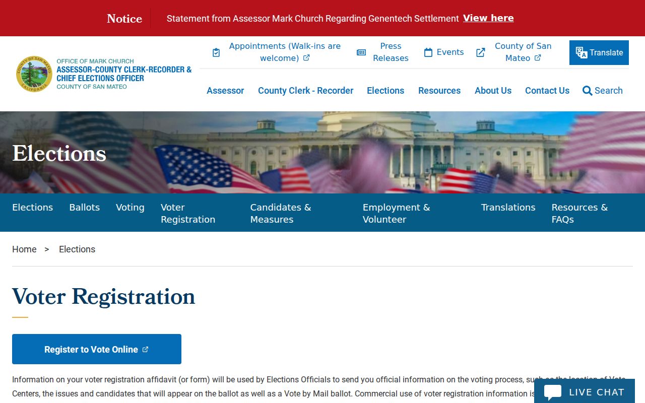
The county rules image reinforces the difference between a voter’s own status check and a public block roster. A registered address can be evidence in an approved process, but it is not a license to republish a block list.
The county voter-registration FAQs show the self-lookup fields and the phone fallback.
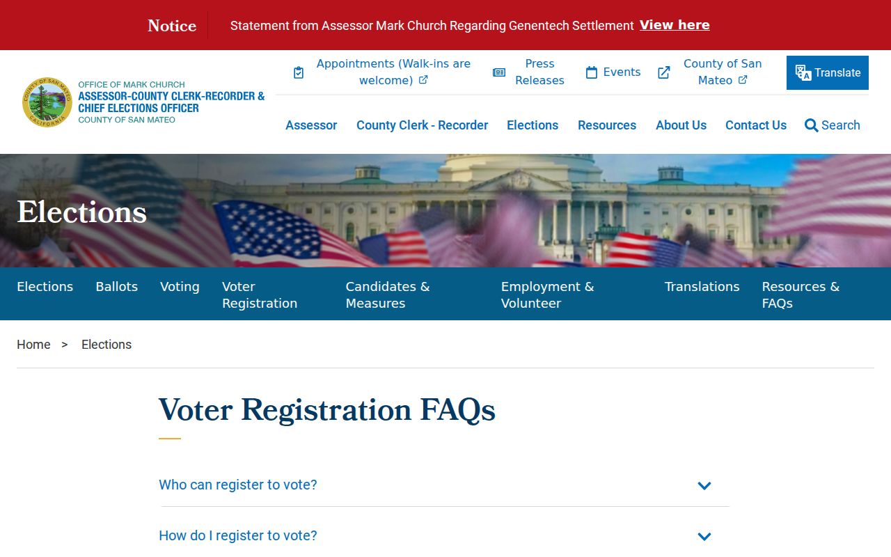
Those instructions are useful when a voter cannot authenticate online. They do not expand the public result into names for every address on a block.
The San Mateo County Elections office page provides the public contact channel for voter questions.
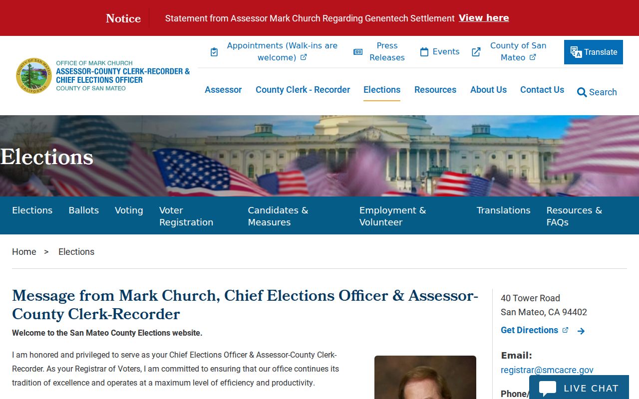
The Elections office lists 40 Tower Road in San Mateo, registrar@smcacre.gov, 650-312-5222, fax 650-312-5348, and language assistance at 888-762-8683. A qualified requester may instead use the state voter-file request process, which requires an approved purpose and does not authorize a neighborhood roster. The statewide request fee is $100; a qualified single-voter request may cover up to ten named voters at $30 each, with a $100 maximum, while county fees vary.
Past Burlingame Neighbors in Reverse Directories
For an older block, reverse or criss-cross directories can add the missing address-to-subscriber layer. The research record does not verify an exhaustive Burlingame publisher list, year run, or sample entry online. Ask the Burlingame Public Library reference desk and use the city’s official history as a lead to local historical-society holdings for San Mateo County, Peninsula, telephone, and reverse directories. Exact shelf years still require confirmation.
The San Mateo County Libraries genealogy resources can also lead to obituary and death-notice databases. The San Mateo County Historical Association may bridge a small-city gap with photographs, maps, clippings, and countywide family or property context. Historical newspaper pages, school yearbooks, alumni material, and congregational archives can add a date or relationship, but access is controlled by each repository.
- Search the street name and house number in a reverse section when a volume provides one.
- Copy the spelling, initials, subscriber name, and address exactly before comparing another year.
- Pair a directory appearance with a dated deed, census household, obituary, or map.
- Record a missing year as a publication or indexing gap, not proof that a neighbor moved.
A directory can show a subscriber or occupant clue, not a current identity. Married names, canvass limits, no telephone service, and a change in address format can all break a simple year-to-year match.
Burlingame Neighbor Tools Compared
Official records and commercial compilation tools answer different questions. County systems expose a defined field under a custodian’s rules. A paid compilation may combine property, directory, and other feeds, then infer that records belong to one person. That shortcut can merge names, preserve stale addresses, or omit the reason a field was withheld. Use an official source for the fact it controls and treat a compilation only as a lead to verify.
| Source type | Useful block clue | Boundary |
|---|---|---|
| GIS and assessor records | Parcel shape, APN, assessed owner, mailing address, value, and map links | Ownership and mailing evidence do not prove occupancy |
| Recorded maps and deeds | Lots, blocks, transfer parties, and legal descriptions | Names and legal descriptions matter more than a street browse; copies may require a request |
| Voter records | Self-status or approved registration-file evidence | Purpose-controlled under Elections Code §2194; no anonymous block list |
| Commercial compilation tools | Possible lead assembled from mixed public and private feeds | May be stale, merged, incomplete, or difficult to correct; never official proof |
The practical test is simple: can the custodian, field, date, and access rule be named? If not, pause before repeating the result. A block lookup is stronger when it preserves the distinction between a parcel, a registered address, a historic subscriber, and a person’s private household life.
Burlingame Has No Complete Neighborhood Map
Burlingame does not publish one complete official set of mapped neighborhood districts. The city’s neighborhood design guide describes areas that residents recognize through streets, house styles, subdivision history, and local use. Easton Addition, Ray Park, Mills Estates, Burlingame Park, downtown, Lyon-Hoag, and the bayfront are useful search clues, but they are not a substitute for a parcel boundary or a legal jurisdiction.
This matters when a neighbor asks for an association boundary. Do not infer an HOA, block club, or membership area from a neighborhood label. Check the parcel map for land, the city association directory for public civic contacts, and the relevant organization for its own boundary or meeting rules. A cultural neighborhood name helps an archive find photographs or clippings; it does not create a public resident list.
The same caution applies to precincts and ZIPs. A precinct layer can orient a historical or civic search, while a ZIP layer can explain delivery geography. Neither one tells who lives in every home. Local labels add context only after the parcel and custodian are clear.
Burlingame Neighbor Records by Request
When an online map stops at a parcel, a focused public-records request can reach an existing permit, code file, or address-indexed record. The Burlingame public-records portal routes requests through the city’s Laserfiche system. Identify the department, address or APN, date range, record type, and desired format. Under the California Public Records Act, Government Code §7922.535 generally requires an initial determination within ten calendar days, but production follows later and the agency does not have to create a new resident directory.
For permits, ask for the owner, applicant, contractor, scope, dates, inspection status, and historical jacket if the online file is incomplete. An applicant may be an agent. For code cases, request the case log, notices, photographs, and final disposition tied to the address; a reporting party’s identity or personal contact information may be withheld. Inspection is ordinarily free, while copies can carry direct duplication charges.
A request is also the fallback when a current GIS layer is missing or a block question depends on an older city file. For neighbors research, keep the request narrow and ask for segregable public portions. The custodian can explain the record’s scope, but cannot certify that a parcel owner occupied the property or that every household member appears in the file.
Privacy Limits for Burlingame Neighbors
A parcel roll is not a household roster. Renters, guests, children, and other household members generally do not appear in property records. Utility accounts, delivery data, DMV addresses, signatures, and protected voter fields are outside an ordinary block lookup. Safe at Home participants use a confidential voter procedure and a substitute mailing address, so an absent name may reflect a safety rule rather than an error.
California privacy rights also separate source correction from commercial opt-out. If a government record is wrong, use the correction process of the assessor, recorder, court, Elections office, vital-record custodian, or license board. For a commercial compilation, use its privacy or deletion channel, retain the confirmation, and recheck later. The California Consumer Privacy Act and California Privacy Rights Act provide rights to know, delete, correct, limit certain sensitive-data uses, and opt out of sale or sharing, subject to exceptions. The Delete Act’s broker-deletion process does not erase the underlying public record.
Lawful use. Burlingame neighbor lookups are appropriate for personal research, reconnecting, civic curiosity, and safety awareness. Do not use parcel, voter, or directory clues to watch, threaten, harass, intimidate, or harm anyone.
The California Safe at Home program explains the address-confidentiality route for eligible survivors, public officials, and other covered participants. A public record may remain historically available even when a current display is restricted. The safest practice is to publish office procedures and field descriptions, not a compiled list of private people.